Farm management
This service is provided in the form of a platform and an application
- Farm satellite monitoring
- Growth changes chart
- Normal growth chart
- Farm weather condition
- Historical farm activities
- Yield estimation
- Automated notification
 Plant Index Map
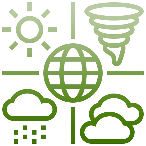 Meteorological Information
 Yield estimation
 Forecasting Of Pests And Diseases
 Soil Moisture Map
 Soil texture
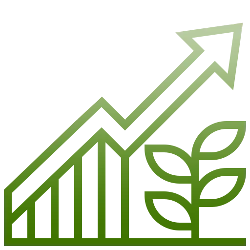 Normal growth chart
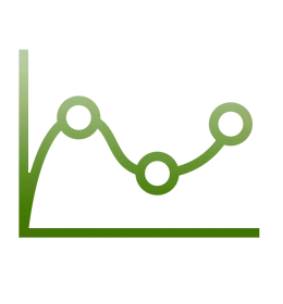 Growth changes chart
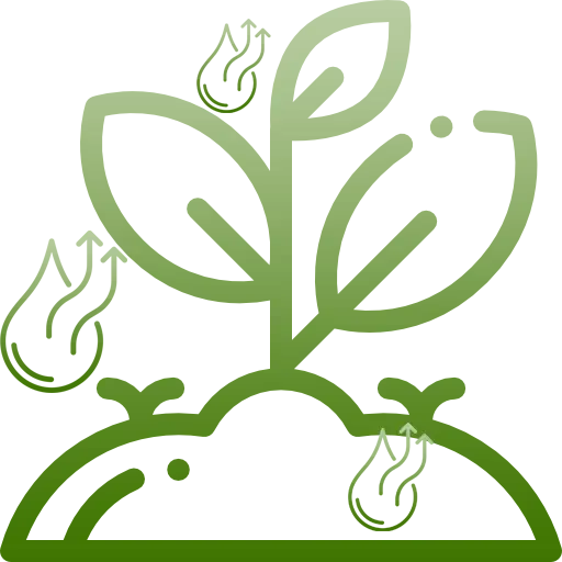 Evaporation and transpiration mapPlant Index Map
You can check the health and density of your farm weekly by registering your land in the system and accessing the index map.
Meteorological InformationWeather and climate information can help determine the optimal timing for agricultural operations in each region.
Yield estimationCalculating the amount of crop production in the Satplat system for each agricultural land is done in both forward-looking and backward-looking ways.
Forecasting Of Pests And DiseasesWith the help of this service, your land will suffer less damage, you will pay less for the purchase of poisons, and you will contribute to saving the environment and protect the health of citizens.
Soil Moisture MapContinuous monitoring of soil moisture in agricultural areas helps the user to check the efficiency of uniform water distribution in fields and gardens.
Soil texturePlanting compatible crops with the soil texture of the field makes it easier to deliver water, fertilizer, and pesticides. With a soil texture map, farmers can quickly identify the soil type of each area on their farm without the need for costly soil testing and travel.
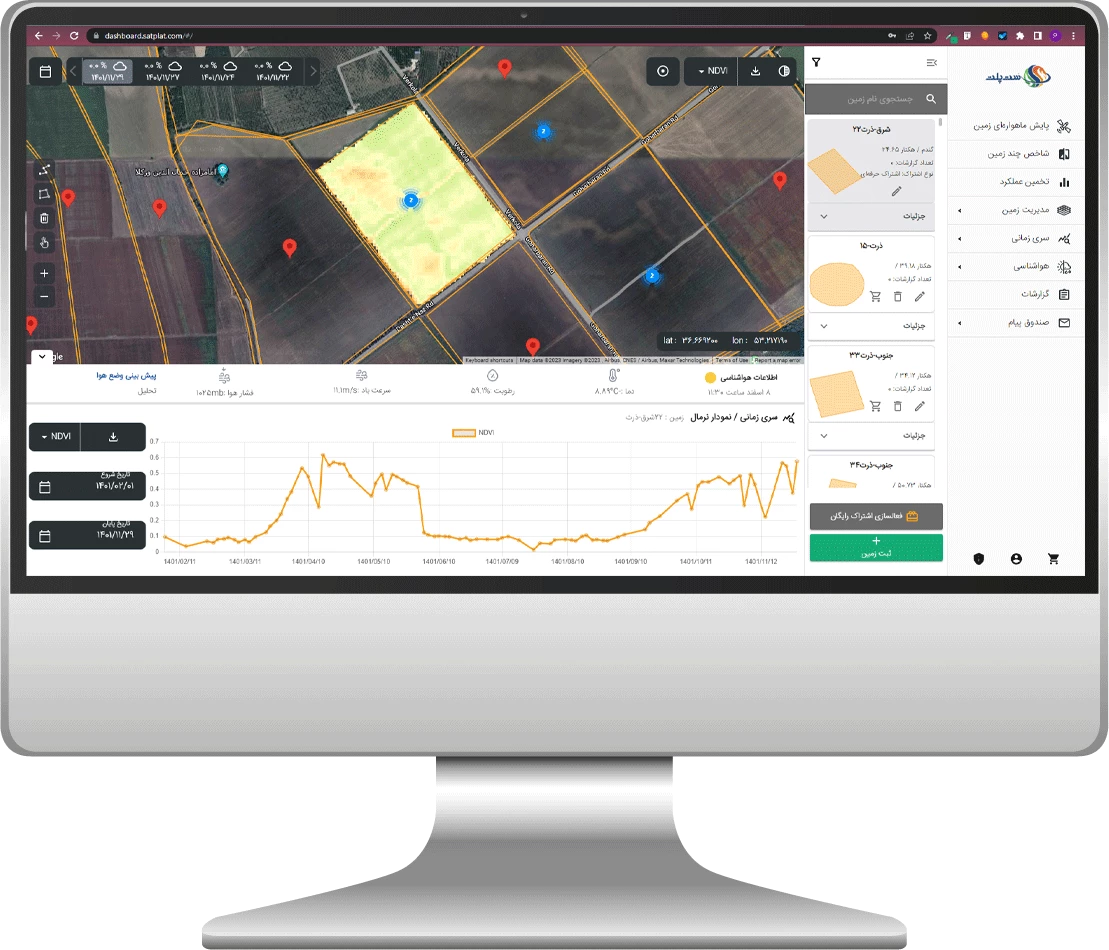
Normal growth chartThis allows the farmer to compare the growth of his crop with the growth of the crop in normal conditions and to do crop management (irrigation, fertilization spraying, etc.) at the right time and with the knowledge of the growth status.
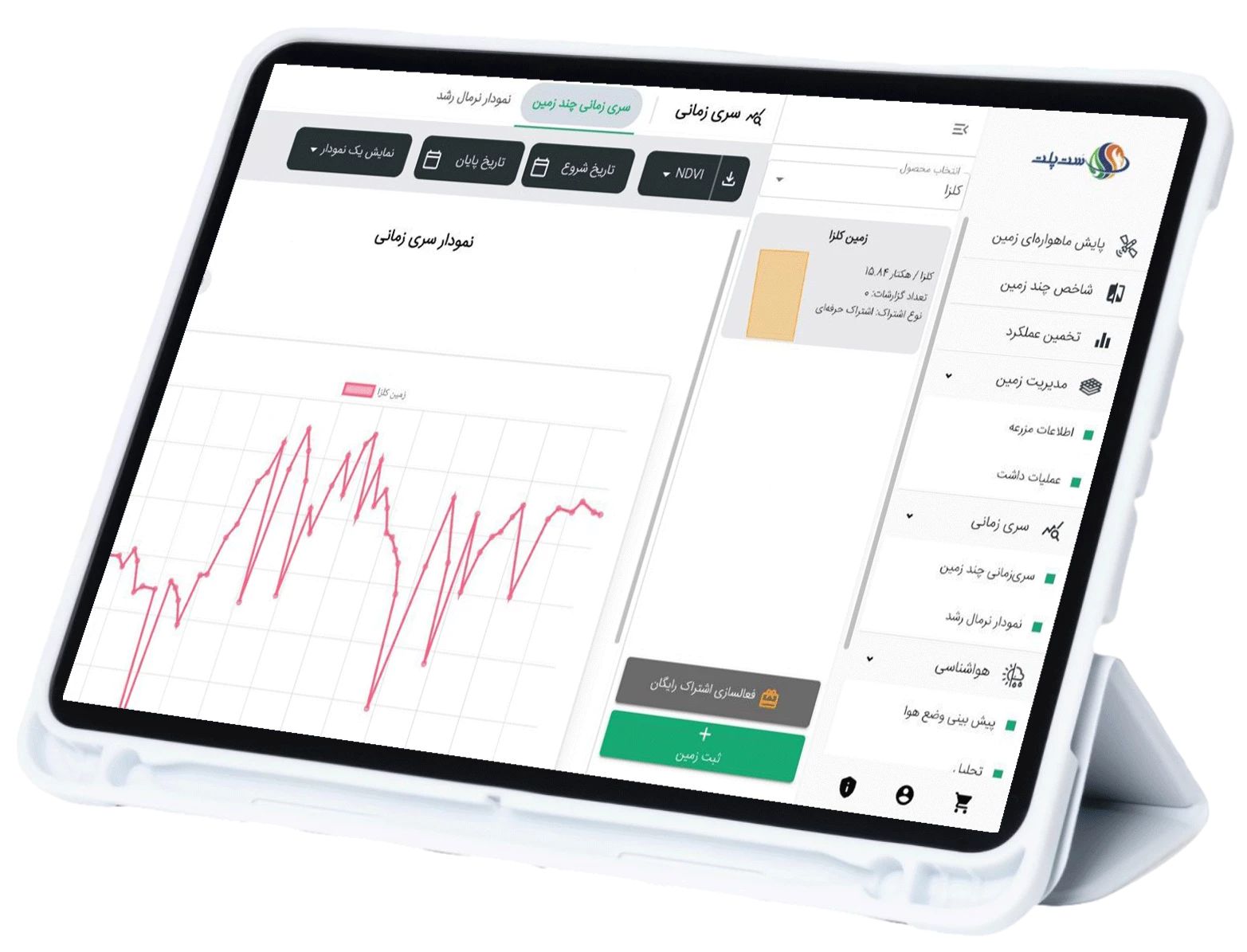
Growth changes chartBy using the time series graph, you can check and compare the growth rate of the crop in the current crop season and even the crop seasons of several years ago.
This chart is useful in predicting the harvest time, estimating crop yield, planning agricultural operations, and also for managing water resources.
Evaporation and transpiration mapAccurate estimation of transpiration and plant water requirements plays a crucial role in improving water consumption management, identifying crops, determining critical land points, assessing crop performance, understanding plant physiology, and ultimately enhancing water use efficiency.

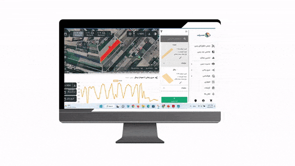
 In this section of the panel, you can view all your farms and select the specific one you want to monitor.
Then choose the date you want the farm to be examined.
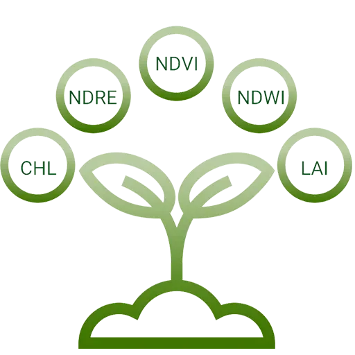
In this part, the desired farm is monitored based on plant indicators. (Indices include: plant health and density, leaf volume for food production, plant water content, plant chlorophyll content and nitrogen received from the plant)
You can change your time range in this section.
The map displayed represents the farm monitored based on your selected index. Next to the map, there is a scale for the index. In this image, the farm has been examined for plant health and density. The areas marked in red indicate regions where plant density and health are very low or even negligible.
The farms you have registered are shown in the "My Farms" section.
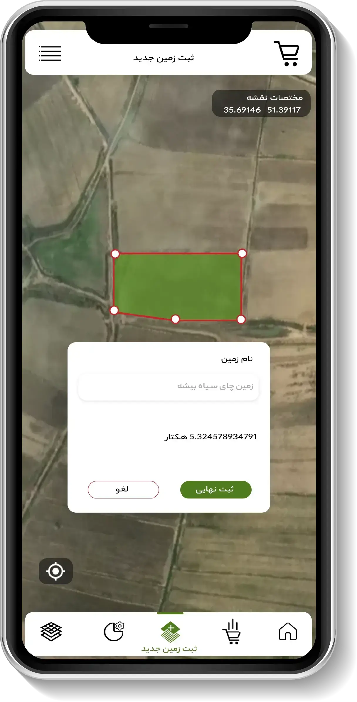
Draw your farm on the panel based on coordinates or the desired boundary. Make sure to connect the end of the boundary to the starting point.
After drawing your farm accurately, click on the final registration.
In this section of the panel, you can view all your farms and select the specific one you want to monitor.
Then choose the date you want the farm to be examined.
In this part, the desired farm is monitored based on plant indicators. (Indices include: plant health and density, leaf volume for food production, plant water content, plant chlorophyll content and nitrogen received from the plant)
You can change your time range in this section.
The map displayed represents the farm monitored based on your selected index. Next to the map, there is a scale for the index. In this image, the farm has been examined for plant health and density. The areas marked in red indicate regions where plant density and health are very low or even negligible.
The farms you have registered are shown in the "My Farms" section.
Draw your farm on the panel based on coordinates or the desired boundary. Make sure to connect the end of the boundary to the starting point.
After drawing your farm accurately, click on the final registration.


Monitored images